Mining & Construction
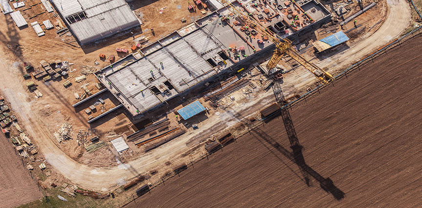
Our services are designed to help mining professionals who require the highest accuracy of work, more efficiently, whilst limiting risk to personnel. Our use of Remotely Piloted Aircraft Systems (RPAS) set a new standard in mapping and surveying by combining highly capable equipment with safe and cost effective methodologies that we have proven over the last five years.
We provide a timely and cost effective data collection solution to assist with planning, stock calculations, environmental compliance monitoring, quality assurance, progress reporting and much more.
- Mine monitoring and remediation
- Service mine reclamation monitoring
- Mine Drainage and water quality monitoring
- Gas emission monitoring
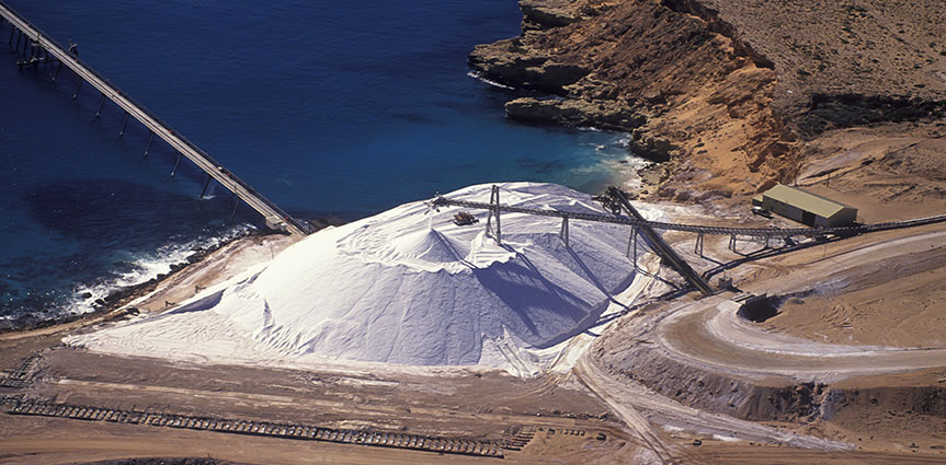
Volumetric Assessment
- Rapid deployment
- Quick Assessments
- Low impact and interference with operations
- Low risk
- Affordable
Agriculture

Leading the way in Precision agriculture Surveying and data analysis, we specialise in putting the power into the farmer’s hands when making critical decisions during the crop lifecycle. Our remotely piloted aircraft systems (RPAS) are specially designed for agricultural applications. Using state of the art technology to capture images and data, we bundle this with in-field sampling (Moisture, Temperatures and EC logging) to provide the farmer with very accurate yield assessments and input vs. output costs.
We also provide assessments for areas of concern such as pests and diseases. Soil assessments, leaf diseases and numerous other problems can be detected, and accurate crop assessments can be made quickly. Catching the disease or pest early is critical to improved crop output. We also manage the data for the farmer. All imagery and yield data is uploaded to an online platform for easy access and simple analysis.
Live Stock Monitoring
- Migration pattern monitoring
- Site assessment for conservation
- Detection of disease-ridden animals
- Animal location and identification

Forestry

- Forest fire mitigation and assessment
- Digital Elevation Model Generation
- Tree classification / Inventory
- Tree height monitoring
- Plant disease detection
- Assessment of tree stocking density
- Stand variability
- Tree stocking evaluation and monitoring
- Forest health and stress monitoring
Environmental Assessment & Compliance
- Flora and fauna surveys
- Ecological assessment reports
- Animal/mammal counts / tracking
- Progress reporting (Algae mats, erosion, mammal counts etc)
- Weather event damage assessments
- Identification/control of pests/ disease/ weed
- Vegetation, drainage, water level monitoring
- Vegetation health
- Research
- Control Survey prior to development
- Offset area assessments
- Vegetation Management Plans, Fauna Management Plans, Threatened Species Management Plans. Weed and Pest Management Plans,
- Bushfire hazard assessments and management plans

Infrastructure Surveying

- Monitoring railroad systems
- Road damage assessment
- Power line and transformer monitoring
- Water supply monitoring
- Urban land use/Utility Mapping
Research & Development
- NIR
- Thermal
- Multispectral
- Hyperspectral


